
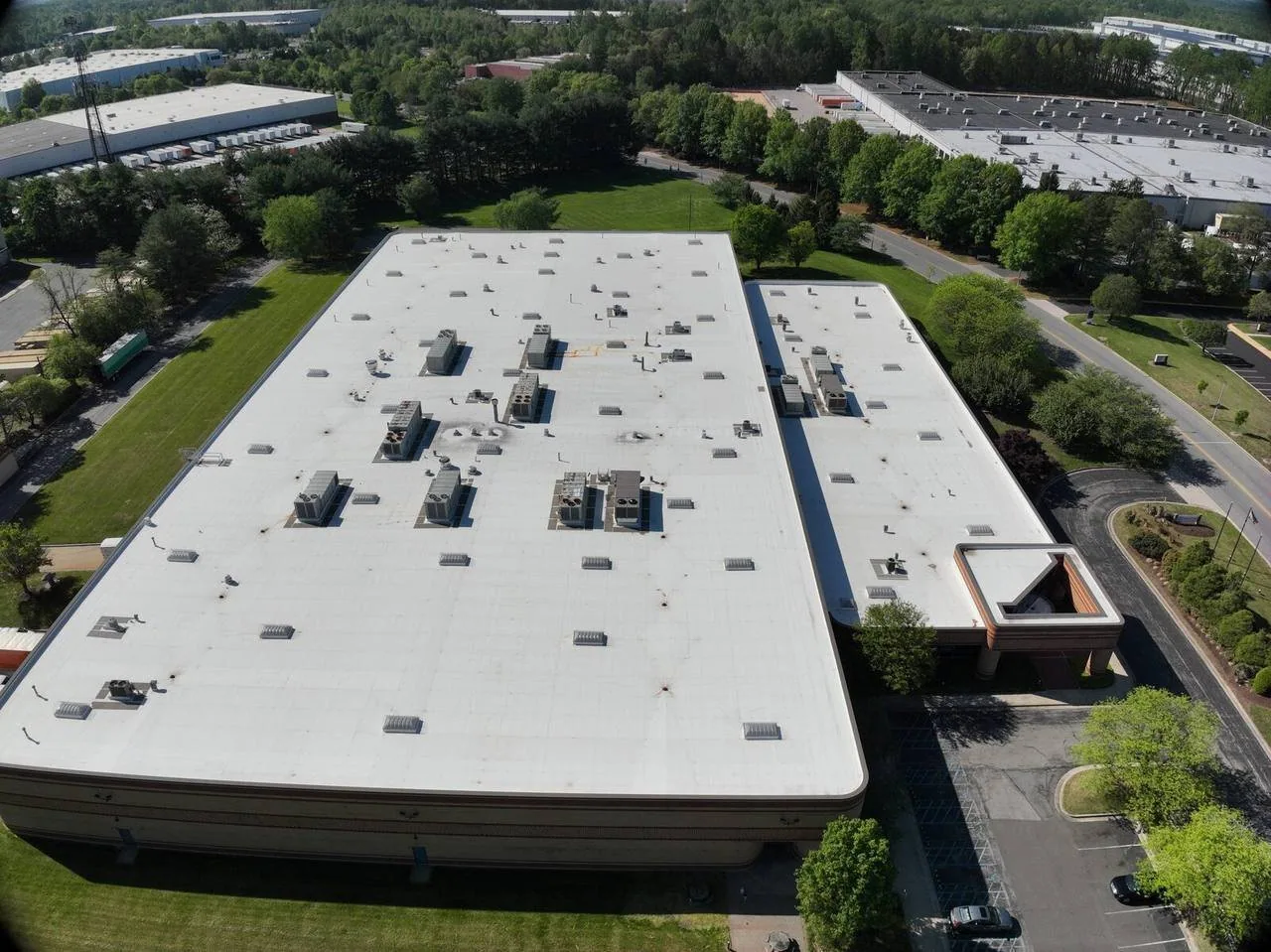
Drone Roof Inspection in Clovis, CA
Commercial Roofing Services
A wet ceiling appearing after the first winter rain may send an owner looking for a roof view before there is a safe route to walk the affected area. At a Clovis, CA commercial property, drone imaging can help show the surface and locate visible concerns, provided flight conditions and permissions permit the work. We begin with the symptom, the building contact and the access situation, then decide how aerial observations can contribute to the investigation. Any active leak still needs its own containment assessment; an aircraft image alone cannot close an opening or establish the condition beneath the membrane.
The question the aerial view can answer
A broad photograph can show where a roof section connects to walls, curbs and outlets, which helps relate an interior complaint to the roof layout. It can also reveal visible debris, surface discoloration or displaced material that deserves closer examination. We define the purpose before collecting images, because a general overview and detailed views of a suspected perimeter failure require different coverage. The owner should understand whether the work is documenting visible condition, assisting access planning or targeting a more focused investigation.
A drone can reduce the need to approach some visible hazards for an initial view, but it does not remove them. A suspected soft deck remains a concern for a subsequent walk even if its surface looks intact from above. Hands-on assessment of roof details provides information that a photograph cannot, including tactile condition and appropriate seam checks. We decide how to combine the methods against the question being investigated, rather than call either one complete in every circumstance.
The permissions, surroundings and visibility
Nearby airspace restrictions, people, adjacent property and the available launch location can affect whether imaging is feasible. We assess the operation and required permissions before flying, with a flight plan suited to the actual location and conditions. The roof assignment does not itself authorize access to restricted airspace or nearby property. Wind, visibility and changing weather can limit coverage or require rescheduling, and the report should preserve any gap caused by those limits.
Central Valley winter tule fog can form overnight, become thickest before dawn and thin with warming during the day. We check the actual visibility at the building rather than infer a flight condition from the season. Surface dampness can also change the appearance of roof materials, so the imaging record needs the conditions under which it was collected. A wet patch in a morning photograph should not be treated automatically as persistent ponding or moisture trapped within the assembly.
The visible patterns and their limits
A discolored path across the field could reflect past drainage, dirt or material differences. We examine its shape and relationship to outlets, then use closer views or on-roof investigation as needed. A photograph can establish that a visible pattern exists at the time of imaging, but the explanation requires more evidence. Investigation of water remaining on the roof may include the time since rainfall, actual water depth and the geometry that directs flow, none of which should be invented from a single overhead view.
Detail images can identify areas to examine without proving the seal at every lap. Shadows, scale and the camera angle can obscure an opening, while a seam line may look pronounced without being separated. On a standing seam metal covering, aerial observations can show panel patterns and visible displacement, yet clips, fasteners and concealed connections need their own assessment. We keep those distinctions in the findings so a clear image does not become an unsupported statement about attachment.
The operating space under the flight
A tenant entrance, active loading area or sensitive outdoor activity can affect where and when a drone can operate. We coordinate the work with the responsible building contact and identify the area needed for the operation, rather than assume an empty patch beside the property is available. With a distribution facility roof survey, roof coverage and ground movements need to be discussed together. The actual site use governs the plan, including any restrictions on photography and access.
Clovis Community Medical Center is located on Herndon Avenue, making healthcare operations a relevant local coordination consideration. That identity does not establish its roof type or imply access permission. For imaging associated with properties in the Herndon medical district, we establish the particular building assignment, approved views and operating restrictions before planning coverage. The images should address the roof investigation while respecting the controls that apply to the site.
The surface through regional heat
The July 2024 record for Fresno includes 26 days reaching triple-digit temperatures; the mean for that month was 90.0 F. Regional heat makes it sensible to discuss work timing and exposed-roof conditions in the Clovis area, but an aerial view cannot establish that heat caused a visible blister or repair failure. We compare the pattern with actual detail condition and assembly information. A drone observation helps decide where to look next; the diagnosis belongs to the evidence obtained at that location.
Thermal imaging is a separate method with its own timing, roof limitations and confirmation requirements. A standard drone photograph is not a moisture map, and a thermal camera does not directly see water inside the roof. If the assignment calls for infrared moisture screening, we assess whether the roof and environmental conditions support it, then identify how suspect areas will be confirmed. Combining cameras changes the investigation tools, not the need to distinguish indication from established layer condition.
The image record and next roof action
A usable imaging record relates each concern to a building and roof location, with a description of what is visible and the access or method limits. We connect that record to condition findings for the owner when a written assessment is part of the assignment. Visible openings, displaced materials or debris may lead to a repair or cleaning scope, while uncertain patterns may lead to a closer walk or authorized sampling. Those are different outcomes and should not be merged into a single damage conclusion.
Repeated views can support comparison only when their coverage and conditions are understood. A new shadow or a changed camera angle can otherwise look like a changed defect. We preserve the inspection date, image locations and relevant limitations, then define the next action against the actual roof findings. Where water is active, repair of the traced roof entry remains the practical task after imaging has helped direct the investigation; photographs alone do not protect the occupied room from the next rain.
Commercial Roofing Questions
Can drone photographs establish that the roof is watertight?
Visible coverage cannot prove the seal at every detail or reveal all concealed defects. Images can identify concerns and guide closer checks, while appropriate hands-on examination or testing addresses the specific waterproofing question. We state which methods were actually used.
What could prevent imaging at our building?
The flight location, required permissions and conditions determine feasibility. Restricted airspace, nearby activity, wind or fog can affect the plan. We assess those factors before scheduling coverage and identify any resulting inspection limitation.
Will a dark roof patch be reported as wet insulation?
Color alone is insufficient evidence of concealed moisture. Dirt, surface wetness or material changes can create similar appearances. We describe the visible pattern and use suitable investigation to test a moisture concern where it warrants further work.
Can the drone examine a suspected soft area before anyone walks there?
An aerial view can assist initial assessment without stepping on that area. It cannot establish deck strength or clear the roof for foot traffic. Suspected support problems still require a safe investigation approach and appropriate additional assessment.
How should repeat drone surveys be compared?
Consistent locations and recorded conditions make comparison useful. Differences in light, angle or surface dampness can change appearance without a new defect. We relate the images to the actual inspection findings before reporting a change in roof condition.
Describe the symptom and the access problem
Tell us the address, the area you need examined and any access or operating restriction. We will assess suitable aerial coverage, the limits of the view and the closer checks needed for the roof decision.
Related Pages
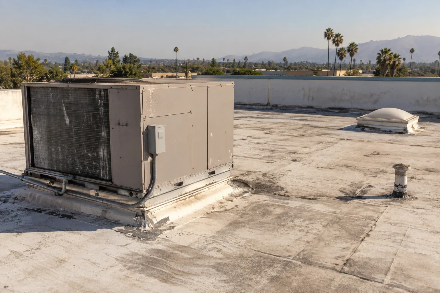
Commercial Roof Inspection
Read the full page
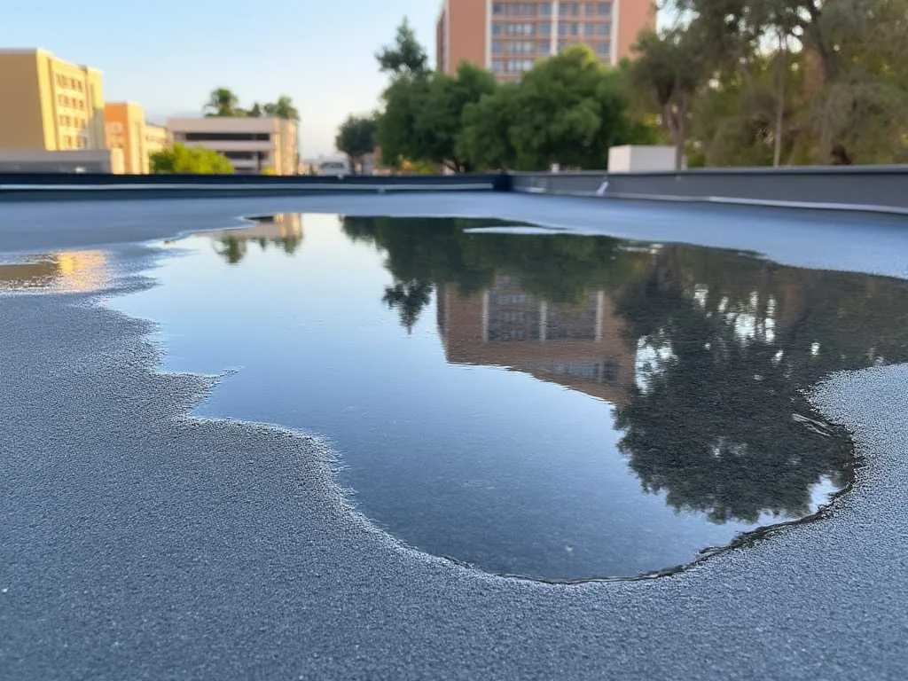
Ponding Water Review in Clovis Before Changing Drainage
See how we handle it
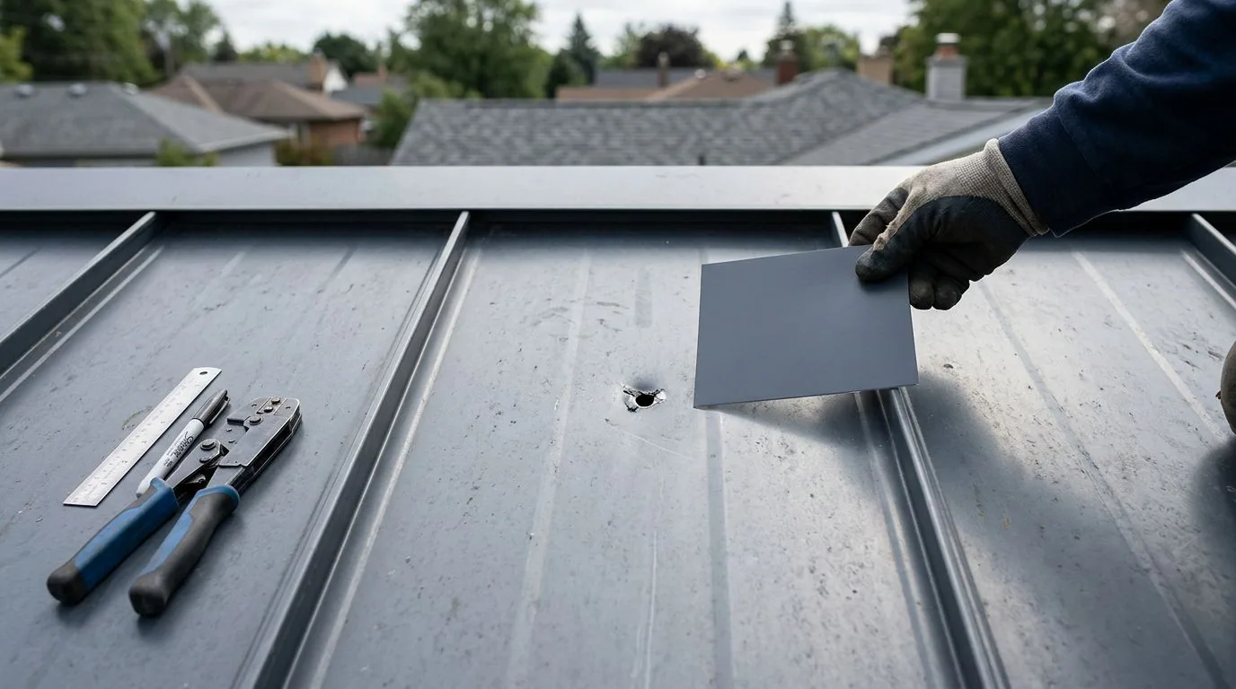
Standing-Seam Metal Roof Corrections
Scope, sequence and repair notes
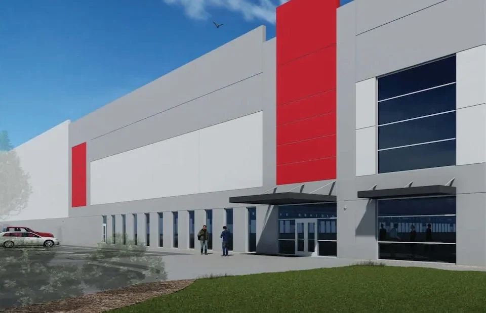
Distribution Roof Repairs Around Receiving Operations
Read the full page
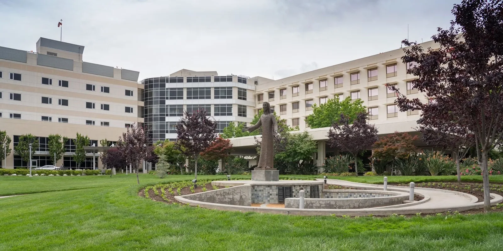
Herndon Medical District
See how we handle it
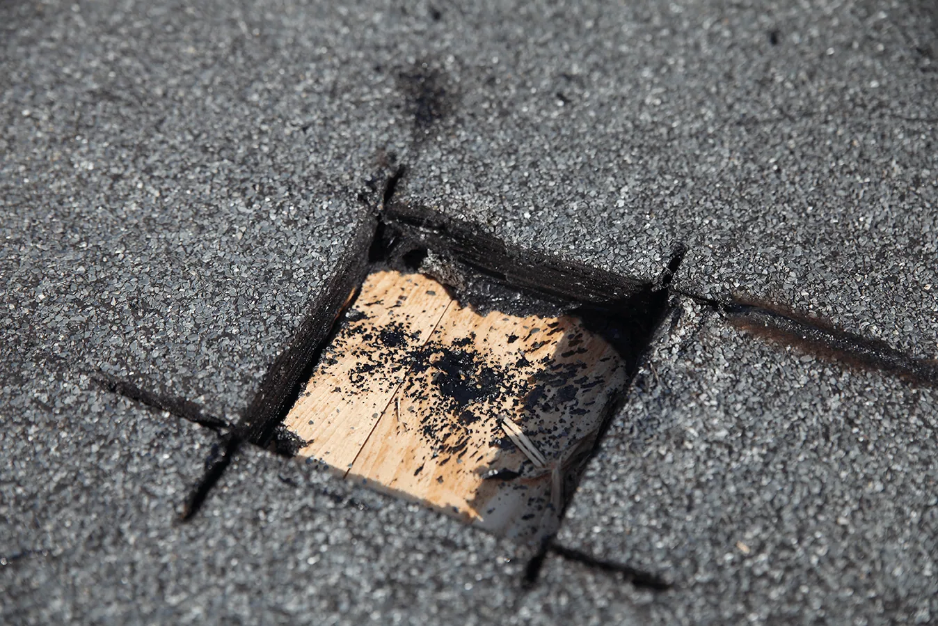
Infrared Roof Moisture Survey
Scope, sequence and repair notes